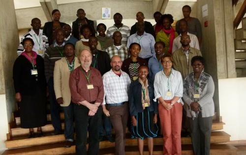
The workshop “Training in Geospatial Analysis of Disease Vectors” was recently held in Muguga, Kenya to introduce attendees on the use of geographic information systems, remote sensing, and ecological modeling, with a specific focus on tsetse flies and trypanosomiasis.
Three sections of the Yale Institute of Biospheric Studies came together to support the NIH grant of the Yale School of Public Health. These were the Molecular Systematics and Conservation Genetics Center, the Center for Earth Observation, and the Program in Spatial Biodiversity Science & Conservation.
The workshop was taught using a suite of open source software running in a virtual machine. This contained all of the programs, lecture materials, class exercises, and reference materials used in the workshop. Students were able to run this set of tools on any laptop that they brought to the workshop. Since they keep the software tools they can continue this work on their own when they return to their schools or research institutes. This suite of tools and virtual machine environment was prepared by Giuseppe Amatulli.
You can learn more about the workshop at:
http://yceo.yale.edu/training-geospatial-analysis-disease-vectors